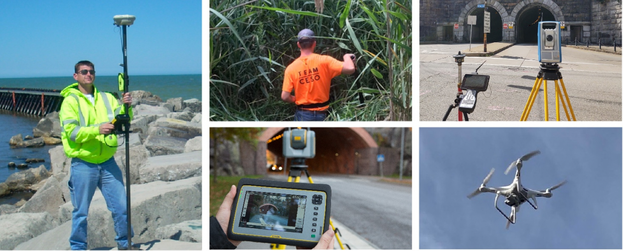
Survey

First in...last out. Our survey personnel recognizes that the success of a project depends upon accurate information. CESO’s technical edge, combined with the continuous education and certification of our team members, provides you with the level of service and accuracy you expect.

Precise and accurate surveying are critical to the success of any project. Utilizing the most advanced tools and technologies available, we can provide the reliable data necessary for civil engineering design, construction, and real estate development as well as municipal infrastructure projects.

  • Zoning Plat/Exhibits
  • Flood Elevation Certificate
  • Topographic Survey
  • Delineated Wetland Mapping
  • Route Survey
  • Boundary Survey
  • Lot Split Survey/Subdivision Platting
  • Easements
  • Right-of-Way
  • Geotechnical Boring Staking
  • Utility Location Survey
  • Infrastructure & Building Staking
  • ALTA/NSPS Survey
  • Structural Monitoring
  • Deformation Survey
  • Structural As-Built Survey
  • Utility As-Built Survey
  • Post Construction Easements
The Survey Project Lifecycle

The Survey Project Lifecycle News

Survey Experts